Blue Bill Point
Neosho River - Fort Gibson LakeTrailer rampPublic access
Around here
Around Blue Bill Point
Loading map…
Data Source: Recreation.gov · Source: USGS GNIS · Public land: USGS PAD-US
Made to print
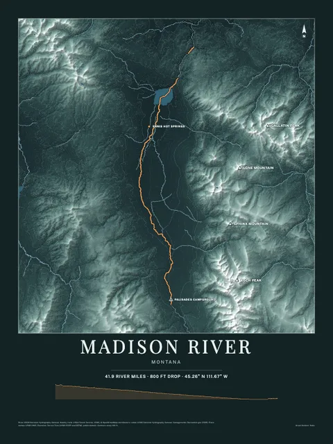
Put Neosho River - Fort Gibson Lake on your wall
This water as an art print: the shoreline, the rivers that feed it and the country around it, drawn from real elevation and USGS water data. Frame it tighter or wider before you print. Pick the colors and the size, and see the finished print before you buy. From $39, shipping included.
Make the posterOrder by December 8 for Christmas delivery.
More launches nearby
Browse all boat launches