Around here
Around Bogachiel River
Data Source: Recreation.gov · Source: USGS GNIS · Public land: USGS PAD-US
About this water
Bogachiel River is in Clallam County, Washington. State records show it stocked 44 times between 2000 and 2026. The most-stocked species are steelhead and coho salmon. 2,784,458 steelhead have gone in across 37 releases.
Boat access nearby
One mapped launch sits within 2 miles of Bogachiel River. Ramp data comes from the USGS national boat-ramp inventory.
Stocking history
44 recorded stockings
| Date | Species | Number | Size | Hatchery |
|---|---|---|---|---|
| Apr 13, 2026 | Steelhead · Bogachiel River Hatchery Stock | 109,260 | — | Bogachiel Hatchery |
| Apr 7, 2025 | Steelhead · Bogachiel River Hatchery Stock | 107,637 | — | Bogachiel Hatchery |
| Apr 1, 2024 | Steelhead · Bogachiel River Hatchery Stock | 107,870 | — | Bogachiel Hatchery |
| Apr 5, 2023 | Steelhead · Bogachiel River Hatchery Stock | 108,449 | — | Bogachiel Hatchery |
| Apr 1, 2022 | Steelhead · Bogachiel River Hatchery Stock | 75,441 | — | Bogachiel Hatchery |
| Nov 15, 2021 | Steelhead · Bogachiel River Hatchery Stock | 45,000 | — | Bogachiel Hatchery |
| Apr 1, 2021 | Steelhead · Bogachiel River Hatchery Stock | 108,281 | — | Bogachiel Hatchery |
| Apr 1, 2020 | Steelhead · Bogachiel River Hatchery Stock | 97,100 | — | Bogachiel Hatchery |
| Apr 8, 2019 | Steelhead · Bogachiel River | 3,127 | — | Bogachiel Hatchery |
| Apr 1, 2019 | Steelhead · Bogachiel River | 14,742 | — | Bogachiel Hatchery |
| Apr 1, 2019 | Steelhead · Bogachiel River Hatchery Stock | 110,000 | — | Bogachiel Hatchery |
| Apr 1, 2018 | Steelhead · Bogachiel River Hatchery Stock | 110,000 | — | Bogachiel Hatchery |
Showing the 12 most recent of 44. Stocking records for Bogachiel River published by Washington Department of Fish and Wildlife. Stocking does not guarantee fish are present. Check current regulations and access before you go. See the full Washington stocking report.
Made to print
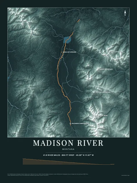
Put Bogachiel River on your wall
The water here as an art print: the shoreline, the rivers, lakes and sea around it and the land behind them, drawn from real elevation, USGS and OpenStreetMap data. Frame it tighter or wider before you print. Pick the colors and the size, and see the finished print before you buy. From $39, shipping included.