UT
Morrison Creek
Around here
Around Morrison Creek
Access4
- Pilot Mountains Designated RoutesRecreation area10.9 mi (opens in a new tab)
- California National Historic Trail (NHT), Donner Reed PassRecreation area13.3 mi (opens in a new tab)
- Silver Island Mountain Back Country Byway (BCB)Recreation area18.3 mi (opens in a new tab)
- Bonneville Salt Flats Special Recreation Management Area (SRMA)Recreation area19.6 mi (opens in a new tab)
Data Source: Recreation.gov · Public land: USGS PAD-US
About this water
Morrison Creek is in Utah. State records show it stocked 2 times between 2012 and 2013. Every recorded release has been lahontan cutthroat trout. 80 lahontan cutthroat trout have gone in across 2 releases.
Stocking history
2 recorded stockings
| Date | Species | Number | Size | Hatchery |
|---|---|---|---|---|
| Nov 29, 2013 | Lahontan cutthroat trout · Cutthroat, Lahontan | 40 | 4.3" | — |
| Oct 22, 2012 | Lahontan cutthroat trout · Cutthroat, Lahontan | 40 | 4.3" | — |
Stocking records for Morrison Creek published by Utah Division of Wildlife Resources. Stocking does not guarantee fish are present. Check current regulations and access before you go. See the full Utah stocking report.
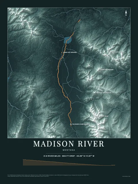
Made to print
Put Morrison Creek on your wall
This water as an art print: the shoreline, the rivers that feed it and the country around it, drawn from real elevation and USGS water data. Frame it tighter or wider before you print. Pick the colors and the size, and see the finished print before you buy. From $39, shipping included.