Culberson County, TX
Well Drill Tank
ReservoirCulberson County, TX
Around here
Around Well Drill Tank
Loading map…
- McKittrick Canyon Contact StationVisitor center10 mi (opens in a new tab)
- Lonesome Ridge Wilderness Study AreaRecreation area11 mi (opens in a new tab)
- Pine Springs Visitor CenterVisitor center12.3 mi (opens in a new tab)
- McKittrick Canyon Wilderness Study AreaRecreation area14.8 mi (opens in a new tab)
Data Source: Recreation.gov · Source: USGS GNIS · Public land: USGS PAD-US
About this water
Well Drill Tank is a reservoir in Culberson County, Texas.
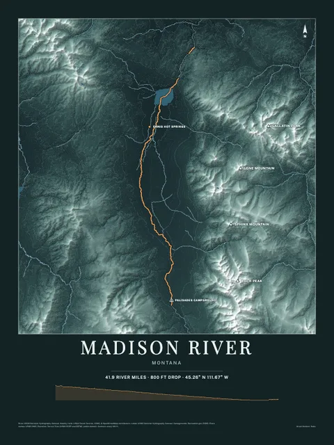
Made to print
Put Well Drill Tank on your wall
This water as an art print: the shoreline, the rivers that feed it and the country around it, drawn from real elevation and USGS water data. Frame it tighter or wider before you print. Pick the colors and the size, and see the finished print before you buy. From $39, shipping included.
Make the posterOrder by December 8 for Christmas delivery.