Chippewa County, MI
Middle Neebish Channel
ChannelChippewa County, MI
Around here
Around Middle Neebish Channel
Loading map…
Data Source: Recreation.gov · Source: USGS GNIS · Source: Canadian Geographical Names Database (NRCan), Open Government Licence - Canada · Public land: USGS PAD-US
About this water
Middle Neebish Channel is a channel in Chippewa County, Michigan.
Boat access nearby
One mapped launch sits within 2 miles of Middle Neebish Channel. Ramp data comes from the USGS national boat-ramp inventory.
Made to print
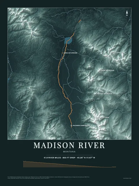
Put Middle Neebish Channel on your wall
The water here as an art print: the shoreline, the rivers, lakes and sea around it and the land behind them, drawn from real elevation, USGS and OpenStreetMap data. Frame it tighter or wider before you print. Pick the colors and the size, and see the finished print before you buy. From $39, shipping included.
Make the posterOrder by December 8 for Christmas delivery.