Fishing Spot Explorer
Fishing Spots in Utah
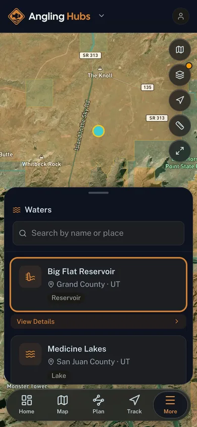
Every named lake and reservoir across Utah. Search by name, filter by water type, see the county, and find the guide who fishes it.
3,083 fishing spots
The map plots a nationwide sample of 3,001 of 3,083 fishing spots. Zoom in to load every one in view.
Browse by county
- Free to browse
- Every named lake and reservoir
- Open in the app to save and track
Fishing-water names, water types, and locations from the USGS GNIS Domestic Names database, a U.S. Government work in the public domain (no restrictions). A named water is not a guarantee of public access, a stocked fishery, or a legal launch, so check state regulations, licensing, and landowner permission before you fish.
More free tools
Other tools in this kit

Everything Map
Listings, trails, spots, clubs and public land on a single full-screen map. Switch layers on and off, then tap any point for the details.
Open Everything MapRiver Explorer
Explore named rivers from the USGS hydrography dataset. Filter by water type or whitewater class.
Open River ExplorerRoute Planner
Drop stops on a map and watch distance and drive time add up. Export a GPX or share the link.
Open Route PlannerFishing Clubs
Browse local clubs with meeting info and how to join, or start your own for free.
Open Fishing ClubsLive Conditions
Real-time conditions spot by spot, pulled from public weather feeds, before you commit to the drive.
Open Live ConditionsWebcams
Live camera feeds from popular spots. Eyeball the crowd, the surf, or the snow before you go.
Open Webcams