Always Catchin Fishing Charters
About
Gallery
Trip details
- Fishing Types
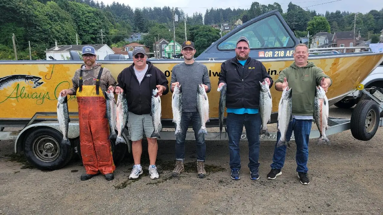
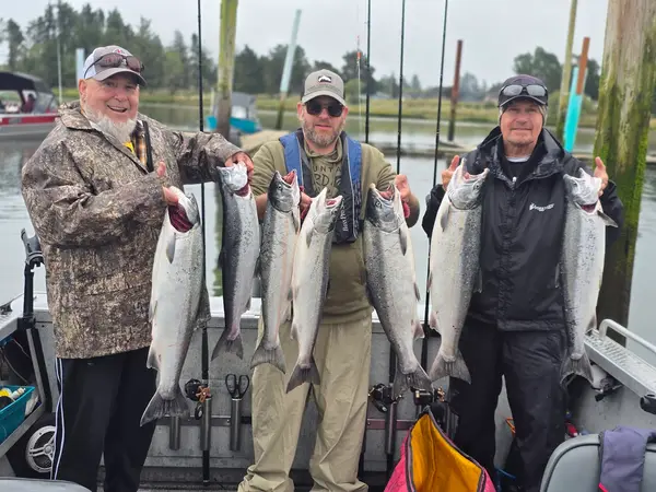
- Salmon & Steelhead, Walleye Fishing
- Trip Durations
- half-day, full-day
Angler reviews
Rating from Google.
Around here
Around Always Catchin Fishing Charters
- Eagle Creek CampgroundCampground · Good for fishing2.6 mi
- Eagle Creek Overlook Grp SiteGroup camp · 1 site2.7 mi
- Wyeth CampgroundCampground · 16 sites5.9 mi
- Wahtum Lake CampgroundCampground · Good for fishing8.1 mi
- Panther Creek campgroundCampground · Good for fishing10.3 mi
- Lost Lake Resort and CampgroundCampground · Good for fishing13.1 mi
- Bonneville Lock and DamRecreation area3.1 mi (opens in a new tab)
- Gifford Pinchot National ForestRecreation area17.4 mi (opens in a new tab)
- Columbia River Gorge National Scenic AreaRecreation area18.2 mi (opens in a new tab)
- Steigerwald Lake National Wildlife RefugeRecreation area21.8 mi (opens in a new tab)
Before you go
Data Source: Recreation.gov · Source: USGS GNIS · Public land: USGS PAD-US
Typical flow by month
1967 to 2026
The water at Always Catchin Fishing Charters typically runs highest in April, at a median 443 cfs, and lowest in August, at 53 cfs. The highest flow on record for any single day is 11,900 cfs, in 2000.
Show the numbers
| Month | Typical (cfs) | Usual range (cfs) |
|---|---|---|
| January | 397 | 238 to 829 |
| February | 379 | 239 to 617 |
| March | 419 | 280 to 626 |
| April | 443 | 328 to 616 |
| May | 373 | 258 to 548 |
| June | 215 | 137 to 353 |
| July | 83 | 65 to 110 |
| August | 53 | 46 to 72 |
| September | 56 | 42 to 92 |
| October | 105 | 61 to 211 |
| November | 401 | 233 to 751 |
| December | 411 | 247 to 822 |
Typical is the median of each month’s daily median values, and the usual range runs from the median 25th to the median 75th percentile, across about 59 years of record. Statistics published by the US Geological Survey for Bull Run River near Multnomah Falls, OR (site 14138850). Conditions on any given day can fall well outside the usual range. Check the current reading before you go.
Current conditions
Today · Fri
65Maybe/ 100
91% chance of rain
RainHigh 62°F, low 45°FRain 91%Wind 6 kt, gusts 18
Streamflow
61 cfs
Much below normal (6th)
Water level
2.65 ft
Water
45°F
Air quality
69 Moderate
Hood River West Side FD monitor, 28 km
National Weather Service
NWS issues forecasts here only during high water.
Forecast from Open-Meteo global models (NOAA & ECMWF). Flood stages and forecasts: NOAA National Weather Service. Air quality: Oregon Dept. of Environmental Quality via EPA AirNow. Preliminary data, not verified. See full conditions →
More guides in Oregon
Also nearby
Other ways to get outside within about an hour of here.

Free tools