Fishing The Rogue
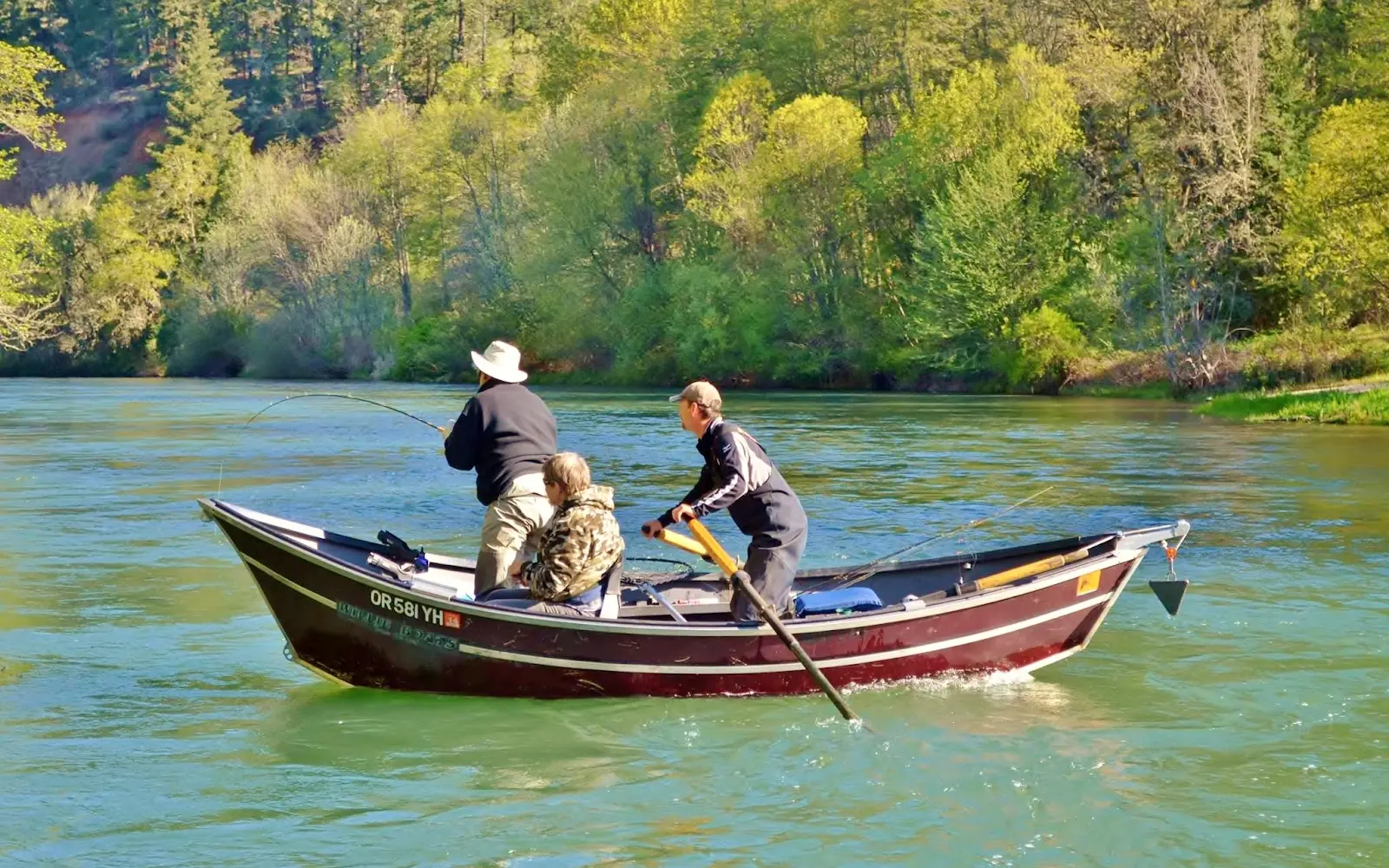
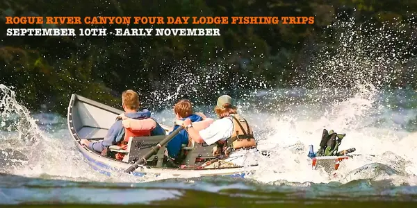
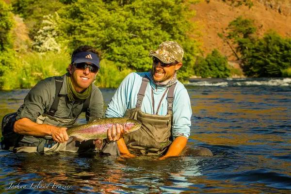
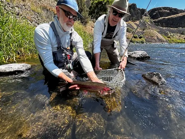
Fishing The Rogue is a fishing guide service based in White City, Oregon. It operates on the Rogue River. They also fish the Umpqua River and target Chinook salmon and steelhead.
Gallery
Trip details
- Fishing Types
- Salmon & Steelhead, Fly Fishing
Fishing spots near Fishing The Rogue
Loads the full map of the fishing spots near this listing. We leave it off by default so the page opens fast on mobile data.
- Quackenbush ReservoirReservoirJackson County, OR
- Skou ReservoirReservoirJackson County, OR
- Moore ReservoirReservoirJackson County, OR
- Gates ReservoirReservoirJackson County, OR
- Despain ReservoirReservoirJackson County, OR
- Bingham ReservoirReservoirJackson County, OR
- Petrehn ReservoirReservoirJackson County, OR
- Modoc ReservoirsReservoirJackson County, OR
Angler reviews
What anglers are saying
- DDavid Kissling· 5 months ago
Fishing the Rogue exceeded my expectations as a guide service. Mike is a top-tier guide and would recommend him to anyone looking for a great fishing experience. The fishing was tough and he still managed to put two beautiful spring Chinook in the boat. Even when Mike found out that I brought my own dirftboat to fish the following day, he did not hold back on sharing knowledge about the spring Chinook fishery. Without a doubt his knowledge helped me land a springer in my boat the next day! Thanks again Mike!
- MMark Murray· 2 years ago
Had an awesome trip fishing king salmon with Mike! He was a skilled guide that got us on some huge fish! Highly recommend!! The river scenery was beautiful & Mike was very knowledgeable and made the trip special for my husband and I. Mark & Amy Murray. KCMO.
- KKliness DeButy· 6 years ago
An absolutely amazing trip! Excellent service from start to finish! Caught plenty of fish and Charlie's instruction, conversation, and boatmanship was top notch!
- AAshley Heatherly· 5 years ago
Great company! And thank you to our awesome guide Parker. It was a perfect day on the boat making memories.
Reviews powered by Google. Content belongs to its respective authors.
Typical flow by month
1939 to 2026
The water at Fishing The Rogue typically runs highest in May, at a median 2,950 cfs, and lowest in October, at 1,230 cfs. The highest flow on record for any single day is 51,300 cfs, in 1965.
| Month | Typical (cfs) | Usual range (cfs) | Relative level |
|---|---|---|---|
| January | 2,360 | 1,580 to 3,980 | |
| February | 2,330 | 1,540 to 3,800 | |
| March | 2,720 | 1,850 to 3,730 | |
| April | 2,890 | 2,045 to 3,880 | |
| May | 2,950 | 2,360 to 3,840 | |
| June | 2,605 | 2,125 to 3,090 | |
| July | 1,750 | 1,380 to 2,160 | |
| August | 1,810 | 1,220 to 2,140 | |
| September | 1,370 | 1,150 to 1,585 | |
| October | 1,230 | 1,110 to 1,380 | |
| November | 1,405 | 1,205 to 1,925 | |
| December | 1,960 | 1,430 to 3,620 |
Typical is the median of each month’s daily median values, and the usual range runs from the median 25th to the median 75th percentile, across about 87 years of record. Statistics published by the US Geological Survey for Rogue River at Dodge Bridge, near Eagle Point, OR (site 14339000). Conditions on any given day can fall well outside the usual range. Check the current reading before you go.
Current conditions
Streamflow
1,150 cfs
Normal (35th)
Water level
2.96 ft
Water
57°F
High today
78°F
Wind
9 kt
Gusts 11 kt
Rain chance
0%
Week ahead
Forecast from Open-Meteo global models (NOAA & ECMWF). See full conditions →
More guides in Oregon
Also nearby
Other ways to get outside within about an hour of here.
Free tools
Your free outdoor toolkit

Everything Map
Listings, trails, spots, clubs and public land on a single full-screen map. Switch layers on and off, then tap any point for the details.
Open Everything MapFishing Spots
Browse 24,783 named waters, then read the state stocking record: species, size, and when.
Open Fishing SpotsRiver Explorer
Explore named rivers from the USGS hydrography dataset. Filter by water type or whitewater class.
Open River ExplorerRoute Planner
Drop stops on a map and watch distance and drive time add up. Export a GPX or share the link.
Open Route PlannerFishing Clubs
Browse local clubs with meeting info and how to join, or start your own for free.
Open Fishing ClubsLive Conditions
Real-time conditions spot by spot, pulled from public weather feeds, before you commit to the drive.
Open Live Conditions