Rivers Edge Outfitters
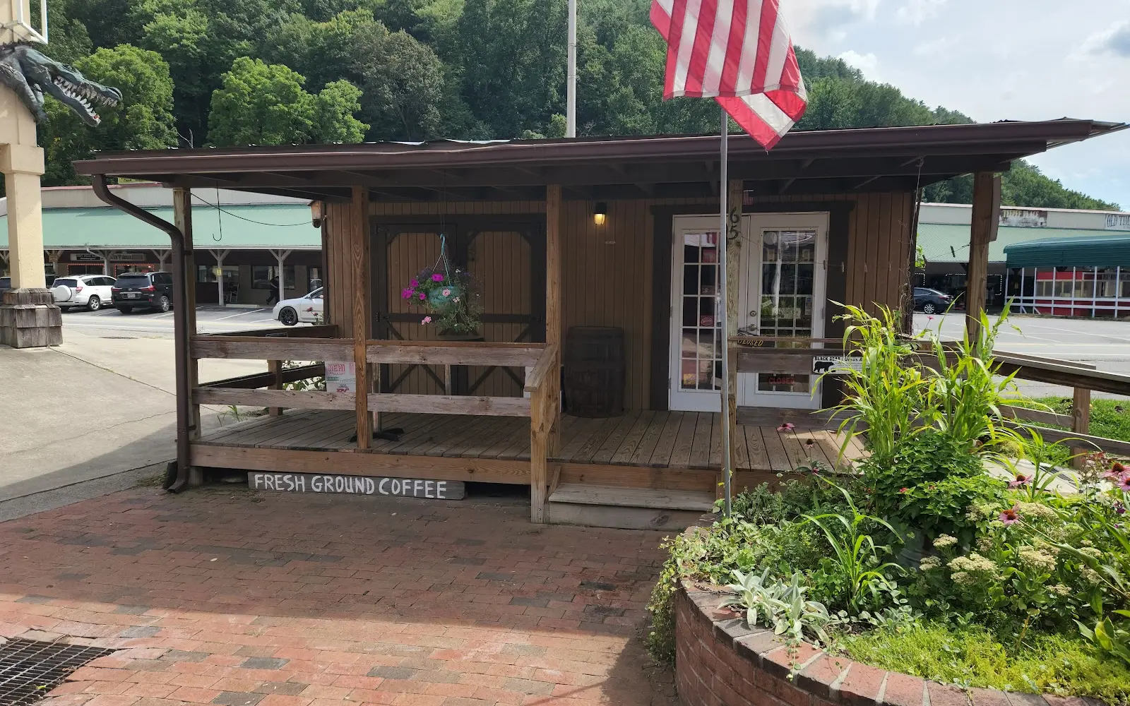
Rivers Edge Outfitters is a fishing charter and guide service based in Cherokee, NC.
Gallery
Trip details
- Waters
- Tennessee lakes / tailwaters
- Fishing Types
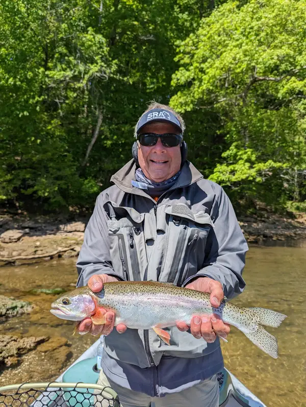
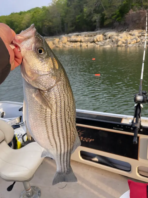
- Bass Fishing, Trout Fishing
- Trip Durations
- half-day, full-day
Fishing spots near Rivers Edge Outfitters
Loads the full map of the fishing spots near this listing. We leave it off by default so the page opens fast on mobile data.
- Homer Burgess LakeReservoirJackson County, NC
- Oconaluftee LakeReservoirSwain County, NC
- Tuc-a-way LakeReservoirSwain County, NC
- Sylva ReservoirReservoirJackson County, NC
- Bryson City ReservoirReservoirSwain County, NC
- Lake DillsboroReservoirJackson County, NC
- Hodge LakeReservoirJackson County, NC
- Frady Cove LakeReservoirJackson County, NC
Angler reviews
What anglers are saying
- CCassandra Reising· 2 months ago
Great place, we walked in and everyone was so friendly. Ryland was helpful to us From the beginning and we are so grateful we got to fish with him. He is very passionate about the waters, the fish’s patterns and brought us snacks and drinks. Incredibly kind young man, and my husband slayed the fish. I got some too but overall we caught a lot of fish today. HIGHLY!! 10/10 recommend Ryland.
- EEmily Morton· 7 months ago
A+++++ experience! The staff were so helpful and knowledgeable prior to our visit so we could find the best time of day to meet. We had Joy and Amy as our guides. They were so sweet and funny! Amazing experience! I don’t fish that often and they were so accommodating to review the basics. We caught fish 10 minutes into our 2 hour session. They let us hold and release every fish we caught. I would guess we caught around a dozen fish. They were so knowledgeable about all the fish we were catching and the area. I will definitely be coming back! HIGHLY recommend! Here are some fun pics from our visit!
- SSteve Puccio· 2 months ago
Our guided trip was perfect! Aimee and Joy were awesome! Both the boys are fishermen but have never fly fished before. The ladies were super accommodating and were great teachers and guides. The big rivers were just opened to kids and we couldn't fish the and went to a smaller river for wild trout amd I was curious if we would even catch. We both caught several brown and rainbow trout, and it was a great experience! Thanks to you both again!
- TTanya Colucci· 5 months ago
Pam & Amy were amazing guides. I took my son for his 13th birthday, we learned a ton and caught the slam- rainbow, brook, & brown trout. Highly recommend
Reviews powered by Google. Content belongs to its respective authors.
Typical flow by month
2017 to 2022
The water at Rivers Edge Outfitters typically runs highest in March, at a median 109 cfs, and lowest in July, at 34 cfs. The highest flow on record for any single day is 1,590 cfs, in 2020.
| Month | Typical (cfs) | Usual range (cfs) | Relative level |
|---|---|---|---|
| January | 82 | 46 to 203 | |
| February | 109 | 42 to 260 | |
| March | 109 | 66 to 278 | |
| April | 74 | 53 to 183 | |
| May | 92 | 51 to 180 | |
| June | 41 | 29 to 71 | |
| July | 34 | 26 to 53 | |
| August | 38 | 26 to 87 | |
| September | 36 | 23 to 80 | |
| October | 39 | 27 to 88 | |
| November | 36 | 28 to 71 | |
| December | 93 | 45 to 179 |
Typical is the median of each month’s daily median values, and the usual range runs from the median 25th to the median 75th percentile, across about 3 years of record. Statistics published by the US Geological Survey for West Prong Little Pigeon R near Gatlinburg, TN (site 03469251). Conditions on any given day can fall well outside the usual range. Check the current reading before you go.
Current conditions
High today
78°F
Wind
6 kt
Gusts 9 kt
Rain chance
57%
Week ahead
Forecast from Open-Meteo global models (NOAA & ECMWF). See full conditions →
More guides
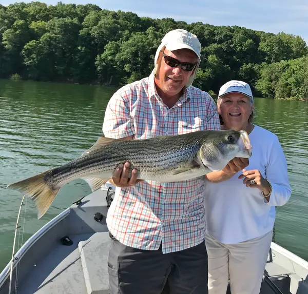
Also nearby
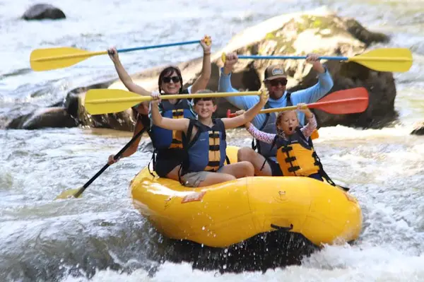
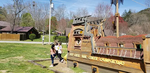
Other ways to get outside within about an hour of here.
Free tools
Your free outdoor toolkit

Everything Map
Listings, trails, spots, clubs and public land on a single full-screen map. Switch layers on and off, then tap any point for the details.
Open Everything MapFishing Spots
Browse 24,783 named waters, then read the state stocking record: species, size, and when.
Open Fishing SpotsRiver Explorer
Explore named rivers from the USGS hydrography dataset. Filter by water type or whitewater class.
Open River ExplorerRoute Planner
Drop stops on a map and watch distance and drive time add up. Export a GPX or share the link.
Open Route PlannerFishing Clubs
Browse local clubs with meeting info and how to join, or start your own for free.
Open Fishing ClubsLive Conditions
Real-time conditions spot by spot, pulled from public weather feeds, before you commit to the drive.
Open Live Conditions