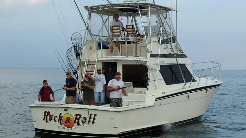
Rock and Roll Charters
About
Gallery
Trip details
- Waters
- Long Island Sound
- Fishing Types
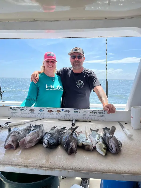
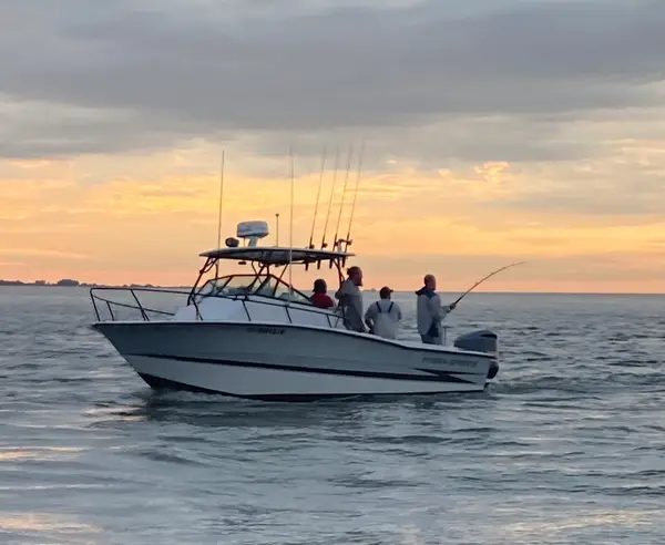
- Inshore Fishing, Bass Fishing
- Trip Durations
- half-day, full-day
Angler reviews
Rating from Google.
Around here
Around Rock and Roll Charters
- DardanellsChannel · Lower Connecticut River Valley County, CT0.4 mi
- Clinton HarborBay · Lower Connecticut River Valley County, CT0.6 mi
- Indian LakeLake · Lower Connecticut River Valley County, CT1.4 mi
- Upper MillpondReservoir · Lower Connecticut River Valley County, CT1.7 mi
- Boulder LakeLake · Lower Connecticut River Valley County, CT2.2 mi
- Duck Island RoadsBay · Lower Connecticut River Valley County, CT2.4 mi
- Niantic / I-95 Exit 72 KOA HolidayRV park · ★ 4.215 mi (opens in a new tab)
- Totoket Valley RV ParkRV park · ★ 4.115.3 mi (opens in a new tab)
- The Island RV ParkRV park · ★ 4.517.1 mi (opens in a new tab)
- The Island Campground and CottagesRV park · ★ 4.317.2 mi (opens in a new tab)
- Aces High RV ParkRV park · ★ 4.318.5 mi (opens in a new tab)
- Salem Farms Campground LLCRV park · ★ 4.419.4 mi (opens in a new tab)
Data Source: Recreation.gov · Source: USGS GNIS · Public land: USGS PAD-US
Typical flow by month
1982 to 2026
The water at Rock and Roll Charters typically runs highest in April, at a median 13 cfs, and lowest in September, at 0.6 cfs. The highest flow on record for any single day is 576 cfs, in 1982.
Show the numbers
| Month | Typical (cfs) | Usual range (cfs) |
|---|---|---|
| January | 9.5 | 5.9 to 15 |
| February | 10 | 6.2 to 15 |
| March | 12 | 8.4 to 20 |
| April | 13 | 7.9 to 19 |
| May | 7.8 | 5.0 to 13 |
| June | 3.4 | 1.8 to 8.0 |
| July | 1.0 | 0.4 to 2.5 |
| August | 0.7 | 0.3 to 2.0 |
| September | 0.6 | 0.3 to 2.0 |
| October | 1.5 | 0.6 to 3.9 |
| November | 5.2 | 2.5 to 9.8 |
| December | 9.3 | 5.2 to 17 |
Typical is the median of each month’s daily median values, and the usual range runs from the median 25th to the median 75th percentile, across about 45 years of record. Statistics published by the US Geological Survey for Indian River near Clinton, CT (site 01195100). Conditions on any given day can fall well outside the usual range. Check the current reading before you go.
Current conditions
Today · Fri
56Maybe/ 100
100% chance of rain · Good solunar activity
RainWaves 2.5 ft65°FRain 100%Wind 13 kt, gusts 30
Waves
1.1 ft @ 4s
Wind
1 kt
Gusts 30 kt
Water
60°F
Air
62°F
Streamflow
23 cfs
Much above normal (95th)
Water level
2.29 ft
Air quality
43 Good
New Haven monitor, 31 km
Tides
Falling
Low 0.4 ft at Sat 3:06 AM
Predicted at Clinton Harbor, under 1 km away.
Get a 2027 tide calendar for this stationForecast from Open-Meteo global models (NOAA & ECMWF). Air quality: Connecticut Dept. of Energy and Environmental Protection via EPA AirNow. Preliminary data, not verified. Tide predictions: NOAA CO-OPS, feet above mean lower low water. See full conditions →
More guides in Connecticut
Also nearby
Other ways to get outside within about an hour of here.
Free tools