Ugly Fishing LLC
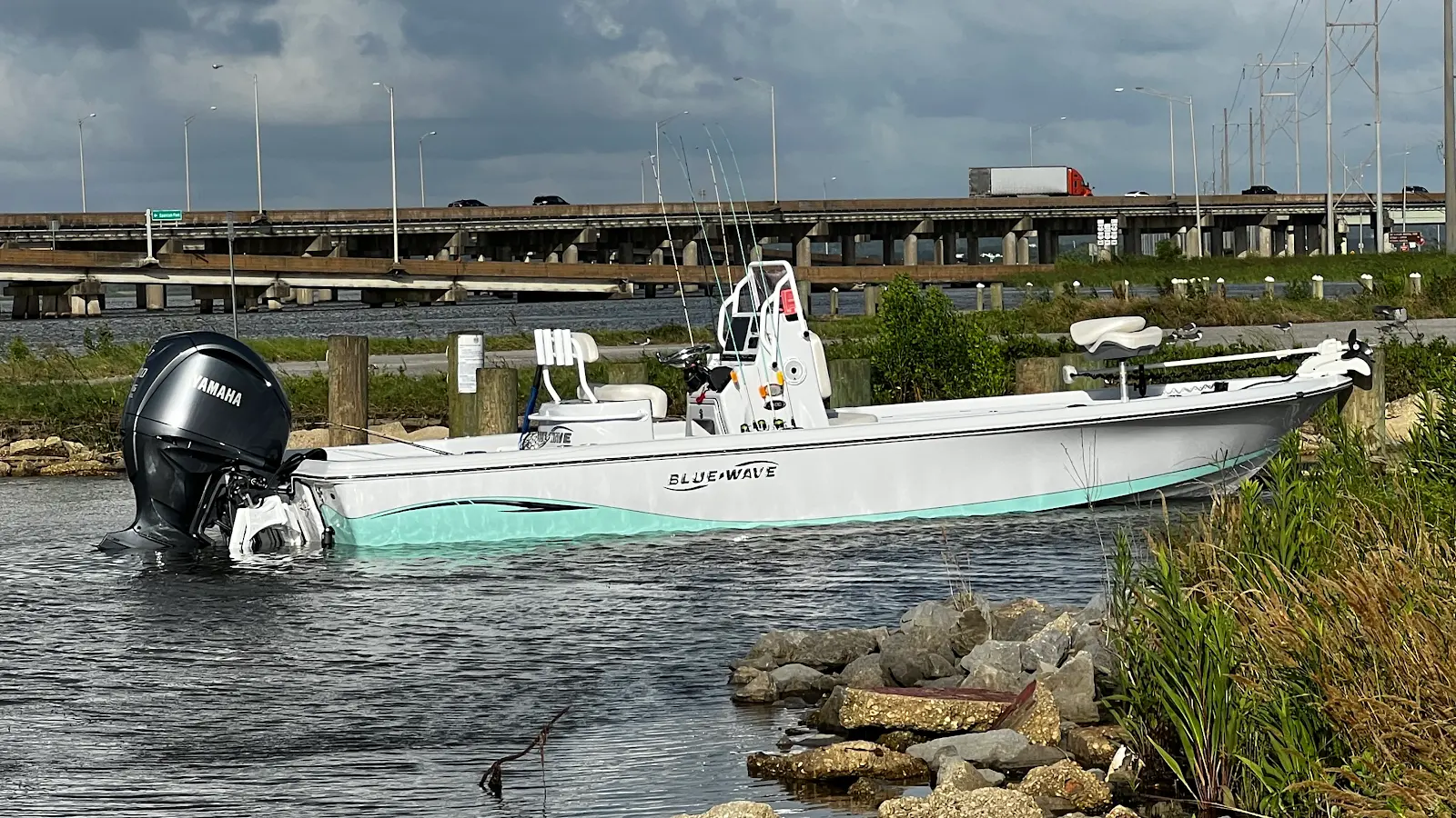
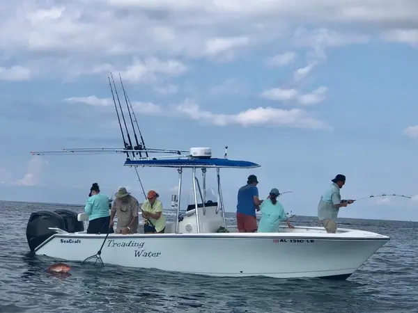
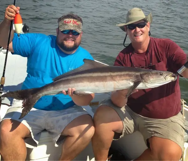
Ugly Fishing LLC is a fishing charter and guide service based in Daphne, AL. They offer charter trips in Mobile Bay, Dauphin Island, Gulf Shores, and Fairhope.
Gallery
Trip details
- Fishing Types
- Offshore / Deep Sea, Inshore Fishing
- Trip Durations
- half-day, full-day
Fishing spots near Ugly Fishing LLC
Loads the full map of the fishing spots near this listing. We leave it off by default so the page opens fast on mobile data.
Angler reviews
What anglers are saying
- CCharity McPherson· a month ago
So worth it. This was our very first deep sea fishing experience, and when it’s time for our second, we’ll absolutely be calling Patric again. I chose Ugly Fishing for a reason. After my dad passed away, I saw their heartfelt Facebook post about losing one of their customers. Knowing he had fished with them made me feel like this was where we were meant to book our first trip. It turned out to be so much more than a fishing charter. From the adrenaline rush of the catch to the peaceful moments of comfortable silence, there wasn’t a single moment that I wasn’t completely in awe. Thank you, Ugly Fishing, for giving us an unforgettable first experience and a memory that will always hold a special place in my heart!
- MMatt Dial· 8 months ago
We had an awesome day on the water with Patric. Despite the chilly morning, he put us on fish almost instantly and the bite never slowed. Patric was extremely knowledgeable and did a great job explaining technique and conditions, which made the trip exciting and educational for everyone in our group. He was patient, easygoing, and clearly knows his waters inside and out. Whether you have experience fishing or not, we would highly recommend Patric to anyone looking for a great day of inshore fishing. Couldn’t have asked for a better day on the water and will be making a return as soon as our freezer needs restocking!
- BBrian· 6 months ago
My family had a great time fishing with Captain Patric. He is knowledgeable, friendly, and did a great job guiding us. We caught 35+ fish which is more than we have on any other charter. We caught lot of redfish along with some drum, croakers, and a speckled trout.
- MMichael Kennedy· 6 months ago
Had a fantastic day today with Patrick, limited out on trout and caught numerous big redfish , all three of us had a big red on at once, was something else. I have fished with numerous guides across the Southeast US and Patrick is the best guide I have ever fished with. He’s as good a person as he is a guide so don’t miss a chance to book a day with him
Reviews powered by Google. Content belongs to its respective authors.
Typical flow by month
2017 to 2021
The water at Ugly Fishing LLC typically runs highest in December, at a median 10 cfs, and lowest in May, at 6.2 cfs. The highest flow on record for any single day is 423 cfs, in 2020.
| Month | Typical (cfs) | Usual range (cfs) | Relative level |
|---|---|---|---|
| January | 9.8 | 7.0 to 13 | |
| February | 9.5 | 8.3 to 13 | |
| March | 7.8 | 6.8 to 9.9 | |
| April | 6.8 | 5.4 to 8.1 | |
| May | 6.2 | 4.8 to 9.4 | |
| June | 7.5 | 5.7 to 11 | |
| July | 8.2 | 6.6 to 12 | |
| August | 8.3 | 6.7 to 14 | |
| September | 7.9 | 5.4 to 15 | |
| October | 8.1 | 5.4 to 16 | |
| November | 9.7 | 7.0 to 12 | |
| December | 10 | 7.5 to 13 |
Typical is the median of each month’s daily median values, and the usual range runs from the median 25th to the median 75th percentile, across about 4 years of record. Statistics published by the US Geological Survey for D'olive Creek near Bridgehead, AL (site 02378780). Conditions on any given day can fall well outside the usual range. Check the current reading before you go.
Current conditions
Waves
0.9 ft @ 3s
Wind
6 kt
Gusts 11 kt
Water
90°F
Air
85°F
Rain chance
45%
Forecast outlook
Forecast from Open-Meteo global models (NOAA & ECMWF). See full conditions →
More guides in Alabama
Also nearby
Other ways to get outside within about an hour of here.
Free tools
Your free outdoor toolkit

Everything Map
Listings, trails, spots, clubs and public land on a single full-screen map. Switch layers on and off, then tap any point for the details.
Open Everything MapFishing Spots
Browse 24,783 named waters, then read the state stocking record: species, size, and when.
Open Fishing SpotsRiver Explorer
Explore named rivers from the USGS hydrography dataset. Filter by water type or whitewater class.
Open River ExplorerRoute Planner
Drop stops on a map and watch distance and drive time add up. Export a GPX or share the link.
Open Route PlannerFishing Clubs
Browse local clubs with meeting info and how to join, or start your own for free.
Open Fishing ClubsLive Conditions
Real-time conditions spot by spot, pulled from public weather feeds, before you commit to the drive.
Open Live Conditions