Around here
Around Rainy River
Nature8
Source: USGS GNIS · Source: Canadian Geographical Names Database (NRCan), Open Government Licence - Canada · Public land: USGS PAD-US
About this river
Rainy River is a 30.7 mile river. Streamflow is measured at the Water Survey of Canada gauge Rainy River at Point Park Site No.2 (site 05PC025). Reach geometry comes from Natural Resources Canada's National Hydro Network.
Boat access nearby
8 mapped launches sit in the mapped area of Rainy River, all of them public access. Ramp data comes from the USGS national boat-ramp inventory.
Made to print
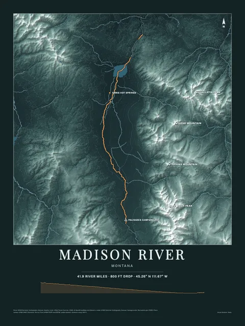
Put Rainy River on your wall
This river section as an art print, drawn over the real terrain with its miles, plus the trails, roads and peaks around it. Pick the colors and the size, and see the finished print before you buy. From $39, shipping included.
Embed this gauge on your site
Paste this snippet anywhere, an outfitter page, a club site, a trip report, to show Rainy River's live streamflow, water level and 7-day trend. It reads the USGS gauge directly, updates itself, and links back here.
See every free widget you can put on your site, including live conditions and a 7 day forecast.