Around here
Around Bauer Creek
Loading map…
Data Source: Recreation.gov · Source: USGS GNIS · Public land: USGS PAD-US
About this river
Bauer Creek is a 2.7 mile river. The National Hydrography Dataset places it at stream order 5. Reach geometry comes from the USGS National Hydrography Dataset.
Made to print
Put Bauer Creek on your wall
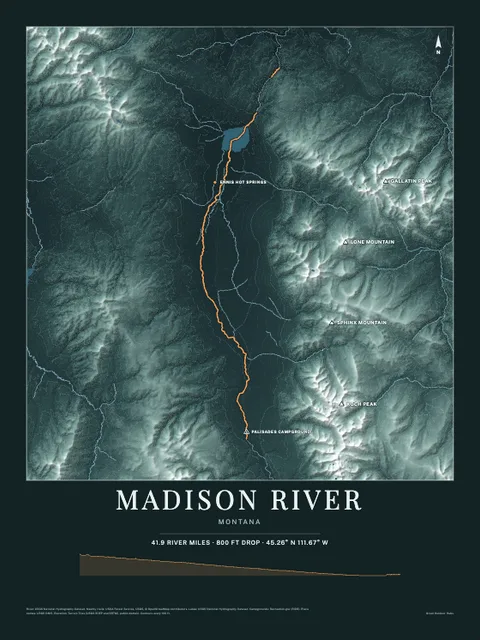
This river section as an art print, drawn over the real terrain with its miles, plus the trails, roads and peaks around it. Pick the colors and the size, and see the finished print before you buy. From $39, shipping included.
Make the posterOrder by December 8 for Christmas delivery.