Lower Connecticut River Valley County, CT
Obed Heights Reservoir
Reservoir20 acres
Around here
Around Obed Heights Reservoir
Loading map…
Data Source: Recreation.gov · Source: USGS GNIS · Public land: USGS PAD-US
About this water
Obed Heights Reservoir is a 20 acre reservoir in Lower Connecticut River Valley County, Connecticut.
Fishing report
Best fishing times today at Obed Heights Reservoir
Boat access nearby
One mapped launch sits within 2 miles of Obed Heights Reservoir. Ramp data comes from the USGS national boat-ramp inventory.
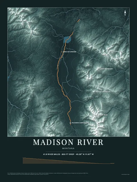
Made to print
Put Obed Heights Reservoir on your wall
This water as an art print: the shoreline, the rivers that feed it and the country around it, drawn from real elevation and USGS water data. Frame it tighter or wider before you print. Pick the colors and the size, and see the finished print before you buy. From $39, shipping included.
Make the posterOrder by December 8 for Christmas delivery.
More fishing spots nearby
- Shippee PondLakeLower Connecticut River Valley County, CT
- Springdale PondLakeLower Connecticut River Valley County, CT
- Calves Island Bar ChannelChannelLower Connecticut River Valley County, CT
- Saybrook Shoal ChannelChannelLower Connecticut River Valley County, CT
- Cranberry PondReservoirLower Connecticut River Valley County, CT
- Deitch PondLakeLower Connecticut River Valley County, CT