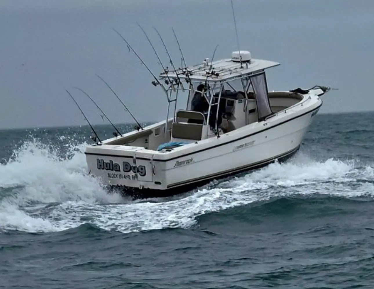
Hula Charters
About
Gallery
Trip details
- Fishing Types
- Inshore Fishing, Offshore / Deep Sea
Fishing spots near Hula Charters
Loads the full map of the fishing spots near this listing. We leave it off by default so the page opens fast on mobile data.
- Spring House Ice PondLakeWashington County, RI
- Continental PondLakeWashington County, RI
- Mill PondLakeWashington County, RI
- Mill Tail SwampReservoirWashington County, RI
- Harbor PondBayWashington County, RI
- Green Hill CoveBayWashington County, RI
- Trims PondBayWashington County, RI
- Payne PondLakeWashington County, RI
Angler reviews
What anglers are saying
- GGeoffrey Sawyer· a year ago
Epic morning on the Hula Girl today!! My two 14yos and I each caught a striper -- but the shark were out so Capt Matt got his shark rigs out and we each caught a shark as well. Just an epic 3 hours of fishing! Fun as always -- Capt Matt is the best!!
- BBrent Mathews· 4 years ago
Awesome charter, worth every penny. Only charter I’ll be using from block island from now on. 9 fish in 3 hours and a nice 40+ pounder! Back another year with more success.
- GGaron VanOverloop· 2 years ago
I have been vacationing and fishing Block Island waters for a long time, with family and friends. Years ago a friend of mine referred us to Captain Matt, owner/captain of Hula Charters. Hula Charters is second to none on Block Island. Captain Matt is extremely knowledgeable of the fishing grounds located around the island. In addition to just “getting on the fish” he knows how they hunt and feed. Hula Charters is the only boat that I have seen on the island that will continually produce fish and will make your fishing experience enjoyable you will return to the dock with a smile on your face and a cooler of fish. The other day my family fished with Matt and limited out on sea bass before 3 hours, my son landed a 48lb stripped bass at a spot we stopped at on our way back to the dock. Trust me when I say, there is no other charter boat on the island that can compare.
- BBill Homan· 8 years ago
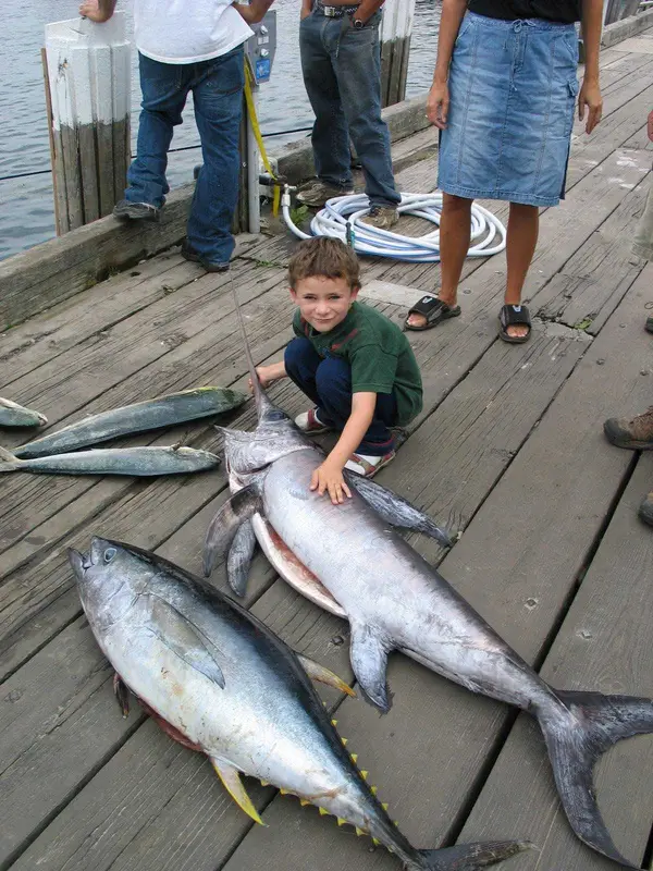
I have been vacationing on Block Island for twenty years. For the first five years I fished with various charter captains and then fifteen years ago I met Captain Matt and have fished with him ever since. His in-shore knowledge is second to none. Over the years I've had the opportunity to do some offshore trips with Matt. I was lucky enough to fight a white marlin and also put some mahi's in the cooler. It was an experience I'll never forget. Matt and I have caught (and released) some great fish over the years. I would enthusiastically recommend him to anyone looking for a charter on the island.
Reviews powered by Google. Content belongs to its respective authors.
Typical flow by month
1958 to 2026
The water at Hula Charters typically runs highest in March, at a median 231 cfs, and lowest in September, at 33 cfs. The highest flow on record for any single day is 2,460 cfs, in 2010.
| Month | Typical (cfs) | Usual range (cfs) | Relative level |
|---|---|---|---|
| January | 155 | 113 to 231 | |
| February | 171 | 127 to 232 | |
| March | 231 | 169 to 320 | |
| April | 230 | 168 to 322 | |
| May | 146 | 117 to 212 | |
| June | 96 | 74 to 139 | |
| July | 64 | 35 to 98 | |
| August | 39 | 21 to 71 | |
| September | 33 | 17 to 70 | |
| October | 48 | 24 to 86 | |
| November | 78 | 38 to 131 | |
| December | 165 | 99 to 258 |
Typical is the median of each month’s daily median values, and the usual range runs from the median 25th to the median 75th percentile, across about 24 years of record. Statistics published by the US Geological Survey for Pawcatuck River at Kenyon, RI (site 01117430). Conditions on any given day can fall well outside the usual range. Check the current reading before you go.
Current conditions
Waves
3.6 ft @ 5s
Wind
10 kt
Gusts 28 kt
Water
69°F
Air
68°F
Streamflow
89 cfs
Much above normal (92nd)
Water level
0.92 ft
Rain chance
14%
Forecast outlook
Forecast from Open-Meteo global models (NOAA & ECMWF). See full conditions →
More guides in Rhode Island
Also nearby
Other ways to get outside within about an hour of here.
Free tools
Your free outdoor toolkit

Everything Map
Listings, trails, spots, clubs and public land on a single full-screen map. Switch layers on and off, then tap any point for the details.
Open Everything MapFishing Spots
Browse 24,783 named waters, then read the state stocking record: species, size, and when.
Open Fishing SpotsRiver Explorer
Explore named rivers from the USGS hydrography dataset. Filter by water type or whitewater class.
Open River ExplorerRoute Planner
Drop stops on a map and watch distance and drive time add up. Export a GPX or share the link.
Open Route PlannerFishing Clubs
Browse local clubs with meeting info and how to join, or start your own for free.
Open Fishing ClubsLive Conditions
Real-time conditions spot by spot, pulled from public weather feeds, before you commit to the drive.
Open Live Conditions