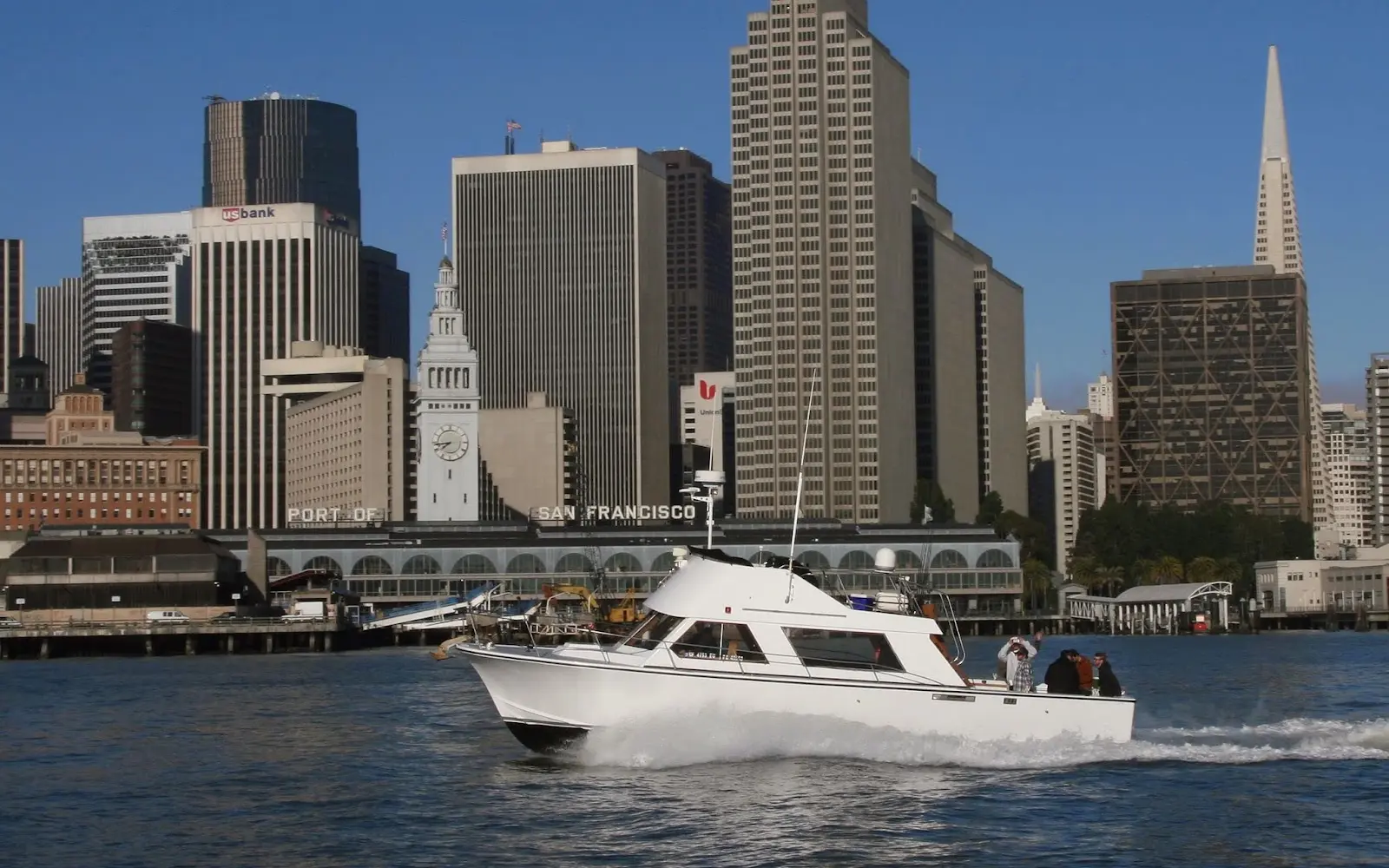
San Francisco Fishing Charters
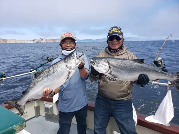
San Francisco Fishing Charters is a fishing charter operator based in San Francisco, California.
Gallery
Trip details
- Fishing Types
- Inshore Fishing, Offshore / Deep Sea
Fishing spots near San Francisco Fishing Charters
Loads the full map of the fishing spots near this listing. We leave it off by default so the page opens fast on mobile data.
- Aquatic CoveBaySan Francisco County, CA
- Lombard Street ReservoirReservoirSan Francisco County, CA
- Gashouse CoveBaySan Francisco County, CA
- Washerwomans Bay (historical)BaySan Francisco County, CA
- Yerba Buena Cove (historical)BaySan Francisco County, CA
- Mission Bay (historical)BaySan Francisco County, CA
- Mountain LakeLakeSan Francisco County, CA
- Bar ChannelBaySan Francisco County, CA
Angler reviews
What anglers are saying
- MMichael Rosenfield· a year ago
We fish with Brian and Jose two times a year, and we love it! They do not overcrowd the boat and are 100% attentive to everyone on board. We caught a bunch of striped sea bass and halibut and everyone had a blast
- CClare Keating· 4 years ago
Brian and Al were absolutely fantastic - professional, funny, and very good at getting us on the fish. The dock is easy to get to and parking is a breeze with the validation option. The boat is spacious and clean, and the gear is in great shape. Brian gives a great introduction to anyone new to fishing and is very patient. We received immaculate filets at the end of our trip and great cooking tips from Al!
- Jjulia harkey· 2 years ago
We had an amazing tour that went under the Golden Gate Bridge and around Alcatraz, they slowed down at the points of interest and we were able to see dolphins swimming. The crew was super nice and welcoming, all in all great experience!
- CCasey Elliott· 5 years ago
What a wonderful way to spend the day! Do yourselves a favor and book a trip with these guys, you'll have to get up early and you'll be there into the afternoon. DRINK COFFEE. There is a bathroom on board, everything is clean and sanitized between people. They provide everything you need to have a great day fishing including cleaning the fish and giving you the filets if you catch one big enough ("big enough" varies between fish) all in all we caught 8 halibut between the 2 of us AND we went all around the bay, saw Alcatraz, the whole trip was well worth it ($200pp) **bring snacks!** Brian and Al are the best and helped with making us better fishers each place we went.
Reviews powered by Google. Content belongs to its respective authors.
Typical flow by month
2015 to 2026
The water at San Francisco Fishing Charters typically runs highest in January, at a median 13 cfs, and lowest in October, at 0.1 cfs. The highest flow on record for any single day is 595 cfs, in 2018.
| Month | Typical (cfs) | Usual range (cfs) | Relative level |
|---|---|---|---|
| January | 13 | 4.1 to 36 | |
| February | 7.0 | 2.8 to 30 | |
| March | 8.4 | 1.9 to 26 | |
| April | 5.5 | 1.8 to 11 | |
| May | 2.0 | 1.1 to 3.2 | |
| June | 0.9 | 0.6 to 1.5 | |
| July | 0.5 | 0.3 to 0.9 | |
| August | 0.3 | 0.1 to 0.5 | |
| September | 0.1 | 0.0 to 0.3 | |
| October | 0.1 | 0.0 to 0.3 | |
| November | 0.3 | 0.2 to 1.6 | |
| December | 3.3 | 0.7 to 32 |
Typical is the median of each month’s daily median values, and the usual range runs from the median 25th to the median 75th percentile, across about 12 years of record. Statistics published by the US Geological Survey for Redwood C at Hwy 1 Bridge at Muir Beach CA (site 11460151). Conditions on any given day can fall well outside the usual range. Check the current reading before you go.
Current conditions
Waves
4.4 ft @ 5s
Wind
4 kt
Gusts 21 kt
Water
60°F
Air
56°F
Rain chance
0%
Forecast outlook
Forecast from Open-Meteo global models (NOAA & ECMWF). See full conditions →
More guides in California
Also nearby
Other ways to get outside within about an hour of here.
Free tools
Your free outdoor toolkit

Everything Map
Listings, trails, spots, clubs and public land on a single full-screen map. Switch layers on and off, then tap any point for the details.
Open Everything MapFishing Spots
Browse 24,783 named waters, then read the state stocking record: species, size, and when.
Open Fishing SpotsRiver Explorer
Explore named rivers from the USGS hydrography dataset. Filter by water type or whitewater class.
Open River ExplorerRoute Planner
Drop stops on a map and watch distance and drive time add up. Export a GPX or share the link.
Open Route PlannerFishing Clubs
Browse local clubs with meeting info and how to join, or start your own for free.
Open Fishing ClubsLive Conditions
Real-time conditions spot by spot, pulled from public weather feeds, before you commit to the drive.
Open Live Conditions